Back to Products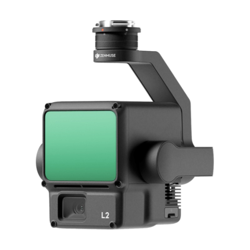
Payloads
DJI Zenmuse L2
Airborne high-precision mapping LiDAR
480,000 pts/s
LiDAR Point Rate
450 m
Detection Range
±2 cm
Accuracy
Overview
The DJI Zenmuse L2 is an airborne high-precision LiDAR sensor with an integrated RGB camera. Featuring a higher point rate and improved accuracy over its predecessor, it delivers exceptional performance for topographic mapping, forestry, and corridor surveys.
Application Scenarios
⛰️Topography
🌲Forestry
⚡Power Line
🏗️Construction
Specifications
LiDAR Point Rate480,000 pts/s
Detection Range450 m
Accuracy±2 cm
RGB Camera20 MP
IMUBuilt-in High-Precision