Back to Products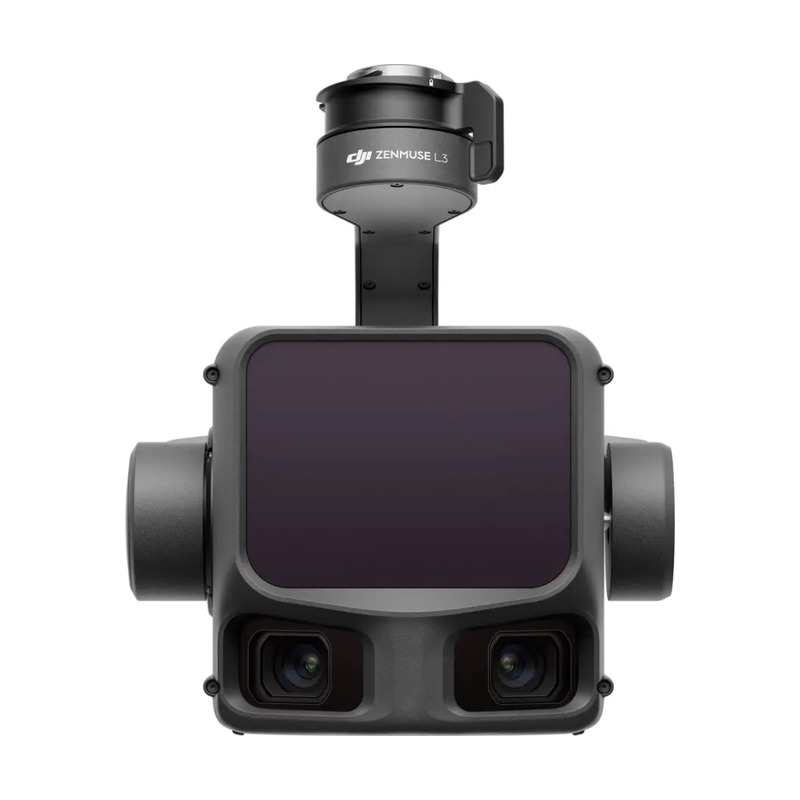
Payloads
DJI Zenmuse L3
LiDAR payload for precise 3D data collection
240,000 pts/s
LiDAR Point Rate
450 m
Detection Range
±3 cm
Accuracy
Overview
The DJI Zenmuse L3 is a LiDAR payload that delivers high-accuracy point cloud data. Combined with an RGB camera, it enables efficient topographic mapping, forestry surveys, and power line corridor inspection.
Application Scenarios
🌲Forestry
⚡Power Line
⛰️Topography
🏗️Construction
Specifications
LiDAR Point Rate240,000 pts/s
Detection Range450 m
Accuracy±3 cm
RGB Camera20 MP